Hakone Hiking GuideThere are plenty of hiking courses in Hakone for good walkers and beginners. If you want to spend one day for a hiking during your stay in Hakone, our guide can select the best fit route to your request. Hiking courses are classified in the following 4 groups. (1) Hakone outer rim mountainsThis hiking route starts from Sengoku-hara or Miyagino, around 600m high, then climbs up to the summit of the outer rim mountains, such as Mt. Kintoki-san (1,212m), Mt. Myojin-ga-take (1,169m), or Mt. Myojyo-ga-take (924m). 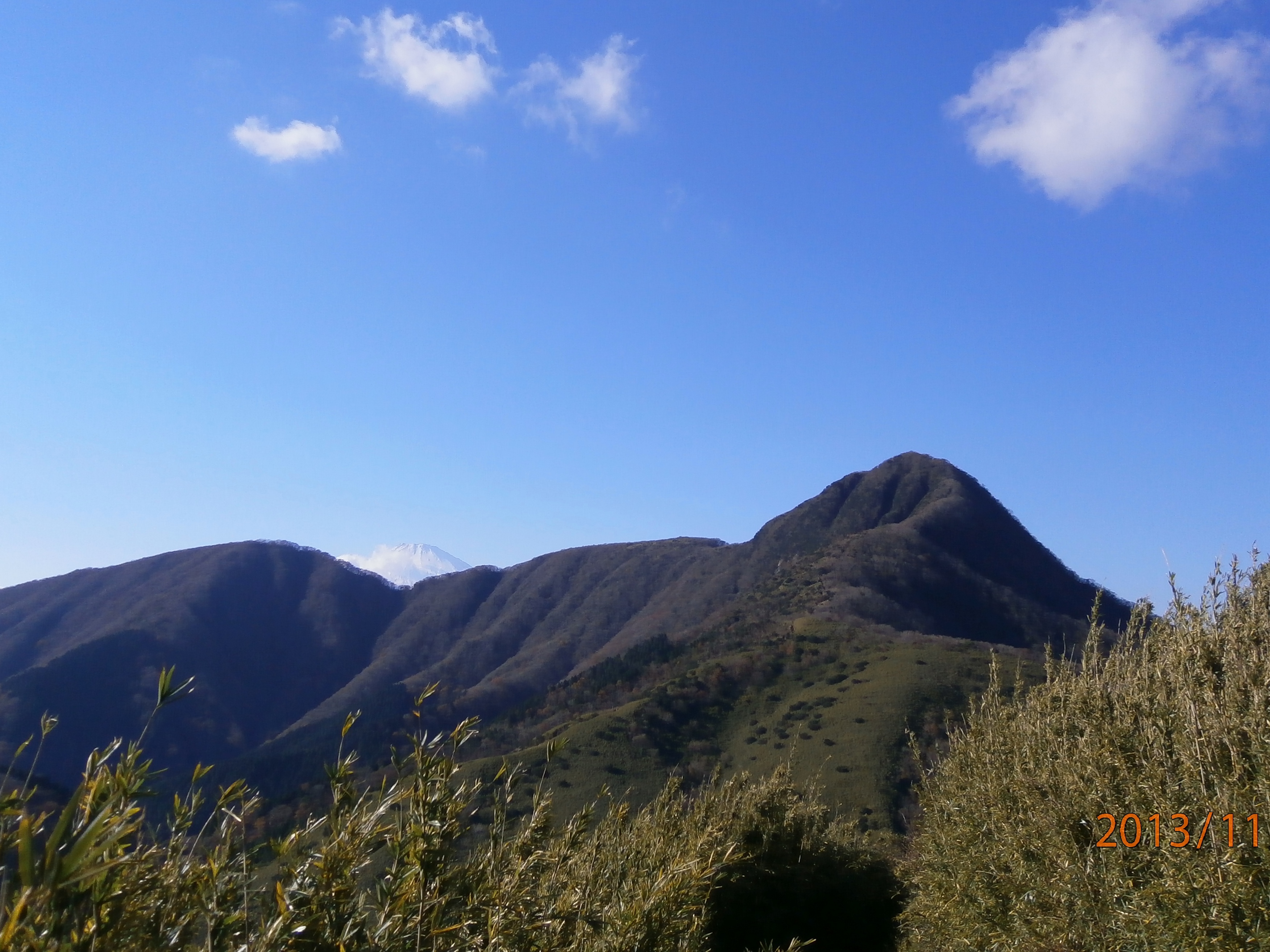 Mt. Kintoki-san and Mt. Fuji from Mt. Myojin-ga-take Mt. Kintoki-san and Mt. Fuji from Mt. Myojin-ga-take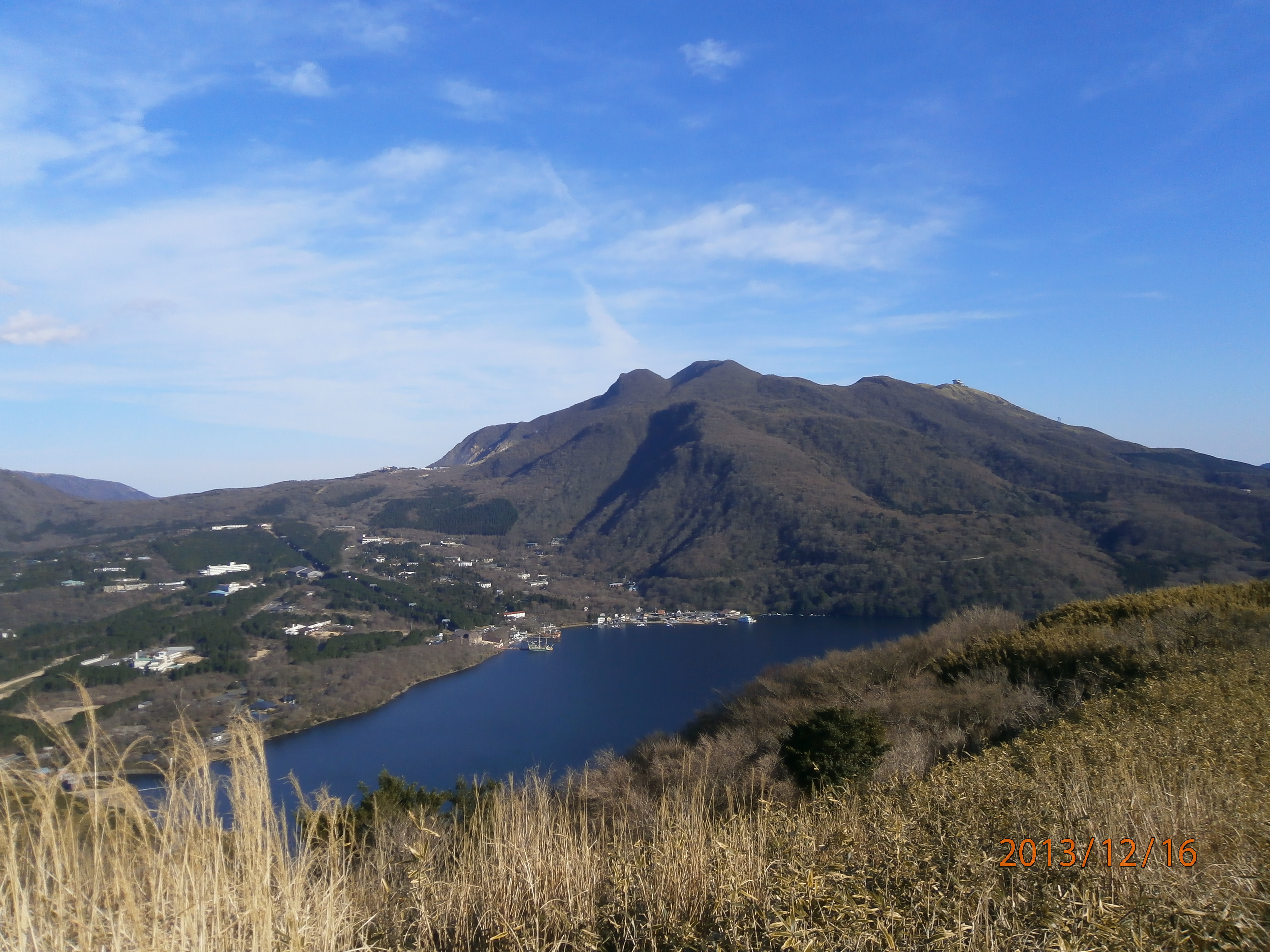 Three mountains in the central cone from Kojiri pass. Three mountains in the central cone from Kojiri pass.(2) Hakone central cone mountainsThere are many hiking courses around three mountains in the central cone, Mt. Kanmuri-ga-take (1,409m), Mt. Kami-yama (1,438m), and Mt. Koma-ga-take (1,356m). Using Hakone ropeway or Koma-ga-take ropeway, you can reach the shoulder of these mountains. (Note: Since May 2015, all of these courses have been closed due to the volcanic activity in Owaku-dani valley.) (3) Along the Old Tokaido roadThis hiking route, one of the most popular hiking route in Hakone, traces the old Tokaido road that was used during Samurai era (Edo period: 1603~1867) and even before. Stone pavements, cedar trees, and mile stones are still well preserved as they were at some portion of this route. 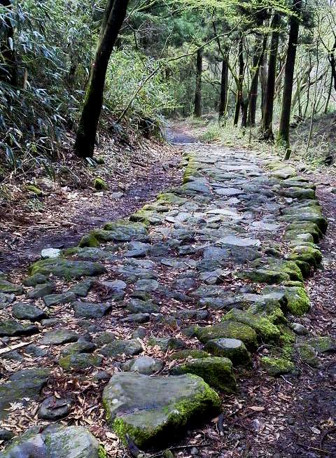 Stone pavements at Old Tokaido road Stone pavements at Old Tokaido road(4) Flat hiking courses along Lake Ashi-no-ko shore and Sengoku-hara highlandThese hiking courses are relatively flat running through Lake Ashi-no-ko shore and Sengoku-hara.
Links to hiking information
A nice hike around HakoneHakone Hiking Route Map (Japanese) |